


Course Library View the full range of courses
-
Accounting (145 courses)
- Xero Accounting and Bookkeeping Online
- Sage 50 Accounting & Payroll
- Project Finance
- Financial Modelling Training
- Tax Accounting
- Introduction to VAT
- Accounting and Finance Course for Managers
- Internal Compliance Auditor
- Financial Statement Analysis
- Payroll Administrator Level 3 Diploma
- View all Accounting courses
-
Language (67 courses)
- British Sign Language (BSL) Level 1 & 2
- Speech and Language Therapy Diploma
- TEFL (TESOL) Course
- English Spelling, Punctuation, and Grammar
- Child & Adult Speech & Language Disorders Training
- Teaching English as Foreign Language (TEFL) Certificate
- Mastering Spanish Language
- French Course for Beginners
- German Course for Beginners
- Body Language and Gesture Training
- View all Language courses
-
Teaching & Education (37 courses)
- Teaching Assistant Complete Course (TA, SEN, Autism, ADHD & Dyslexia) – CPD Certified
- EYFS Teaching Assistant Training Course
- Advanced Diploma in Coaching and Mentoring
- Level 3 Diploma in Teaching and Classroom Management
- Remote Teaching
- SENCO – Special Educational Needs Coordination
- Teaching English as Foreign Language (TEFL)
- Life Coaching
- Phonics Teaching Diploma
- View all Teaching & Education courses
-
Health and Social Care (138 courses)
- Health and Social Care Management
- Paediatric Nursing Assistant
- Mental Health Awareness Training
- Emergency Medicine – Paramedicine
- Level 3 Diploma in Adult Care
- Paediatric First Aid Training
- Safeguarding Children Level 3
- Level 3 Diploma in Anatomy and Physiology of Human Body
- Play Therapy
- The Care Certificate Preparation – Standards (1 to 15)
- View all Health and Social Care courses
-
Management (539 courses)
- Office Admin, Secretarial and PA Diploma
- Estate Agent and Property Management Training
- Diploma in Data Analysis Fundamentals
- Advanced Diploma in Stress & Anxiety Management
- Good Manufacturing Practice (GMP)
- Property Development and Management Course
- Diploma in Hotel Management
- Supply Chain Management
- Quality Assurance (QA) Manager
- Compliance and Risk Management
- View all Management courses
-
IT & Software (127 courses)
- Coding with Python 3
- Search Engine Optimisation (SEO) Training
- Cyber Security
- Motion Graphics with After Effects
- CompTIA A+ Core 1 (220-1101) Course
- Machine Learning for Aspiring Data Scientists
- Next.js Web Dev: Master this Powerful React Framework
- Learn 2D Animation with Adobe Animate
- GDPR Challenges in Education
- View all IT & Software courses
-
Employability (1043 courses)
- Office Administrator Skills
- Presentation Skills
- Legal Secretary and Office Skills
- Hospitality Management
- Estate Agent Diploma
- Hairdressing and Barbering
- Diploma in UK Employment Law
- Diploma in Data Analysis Fundamentals
- Building Surveyor Training
- Emotional Intelligence Training
- View all Employability courses
-
Personal Development (1439 courses)
- Productivity Habits
- Minute Taking Course
- Presentation Skills
- Excel: Top 50 Microsoft Excel Formulas in 50 Minutes!
- Critical Thinking and Problem Solving Skills
- Time Management
- Self Esteem and Confidence Building Course
- Essential IT Skills
- Legal Secretary and Office Skills
- Personality Development
- View all Personal Development courses


Land Surveying
95 Students (12 Reviews)
Learn land surveying, GPS, GNSS, GIS, total stations, topographic surveys, boundary surveying, construction setting out, measurement, and survey calculations.

Course Curriculum
| Land Surveying | |||
| Module 01: Introduction to Land Surveying | 00:25:00 | ||
| Module 02: Land Surveying Basics | 00:30:00 | ||
| Module 03: Land Surveying Instrumentation | 00:27:00 | ||
| Module 04: Land Surveying Methods and Techniques | 00:32:00 | ||
| Module 05: Topographic Surveying and Mapping | 00:27:00 | ||
| Module 06: Boundary Surveying | 00:25:00 | ||
| Module 07: Surveying Health and Safety | 00:27:00 | ||
| Mock Exam | |||
| Mock Exam – Land Surveying | 00:20:00 | ||
| Final Exam | |||
| Final Exam – Land Surveying | 00:20:00 | ||

Original price was: £319.£25Current price is: £25. ex Vat
SAVE 92% - OFFER ENDS IN

 14-Day Money-Back Guarantee
- Personal
- Team
Quantity:
Total:
50% discount for orders of 10+ courses
60% discount for orders of 50+ courses
70% discount for orders of 100+ courses
For more personalised package, contact us


Frequently asked questions
Can’t find the anwser you’re looking for ? Reach out to customer support team.
Land surveying is the science and practice of measuring and mapping land to determine locations, boundaries, elevations, and physical features for construction, engineering, and property purposes.
You will learn surveying principles, measurement techniques, levelling, traversing, boundary surveying, topographic surveying, GPS, GNSS, total stations, GIS, survey calculations, and data management.
The course is suitable for aspiring land surveyors, construction professionals, civil engineering students, site engineers, survey technicians, and anyone interested in surveying.
No. This course is suitable for beginners and provides a structured introduction to land surveying concepts and techniques.
Yes. The course introduces the principles of using GPS, GNSS, total stations, and other modern surveying technologies, along with their applications in surveying projects.
Yes. The course covers the fundamentals of Geographic Information Systems (GIS) and how digital mapping technologies are used to manage and analyse spatial data.
You will develop measurement, mapping, data interpretation, problem-solving, surveying calculations, technical communication, and spatial analysis skills.
Yes. It provides foundational knowledge relevant to entry-level roles in surveying, construction, civil engineering, infrastructure, and land development.
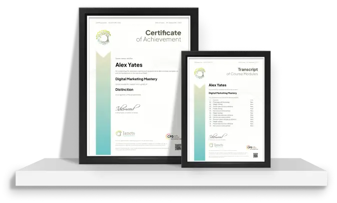
Yes, upon successfully completing the course, you will receive a certificate of completion. This certificate can be a valuable addition to your professional portfolio and can be shared on your various social networks.
We want you to have a positive learning experience. If you're not satisfied with the course, you can request a course transfer or refund within 14 days of the initial purchase.
Our platform provides tracking tools and progress indicators for each course. You can monitor your progress, completed lessons, and assessments through your learner dashboard for the course.
If you encounter technical issues or content-related difficulties with the course, our support team is available to assist you. You can reach out to them for prompt resolution.